

Chogoria 5 day trek
The Chogoria Route has a fantastic charm as it brings a feeling of solitude and peace into a magnificent mountain hike. This route brings to life some of the most beautiful and scenic sites on the mountain, it is also your best chance to see wildlife and birdlife at higher altitudes than expected, with an abundance of zebra, eland, duiker, buffalo, and if you’re really lucky cats. All in all, it takes 5 days with campsites set up by a team of trained local porters and guides, who accompany you throughout your expedition.

-
Camp (3,366m)
Distance: ~6 km
Elevation Gain: +379m
Walking Time: 2 - 3 hoursOn Day 1 you’ll be collected from your hotel after breakfast (or arrangements specific to your group) and driven to the park gate. Depending on your departure point this transfer should take between 3 and 5 hours. At the gate you’ll be met by our team, sign into the park and have lunch. After the meal the first day’s trek is a relaxed afternoon walk through timberline forest where open glades are punctuated by stands of towering cedar and African rosewood trees. The vehicle track is followed out of the trees and into the moorland until it terminates at the Chogoria roadhead. Shortly thereafter the route leaves the main Chogoria trail and takes you off the beaten path and down to our secluded campsite which is nestled in a valley beside a clear stream.
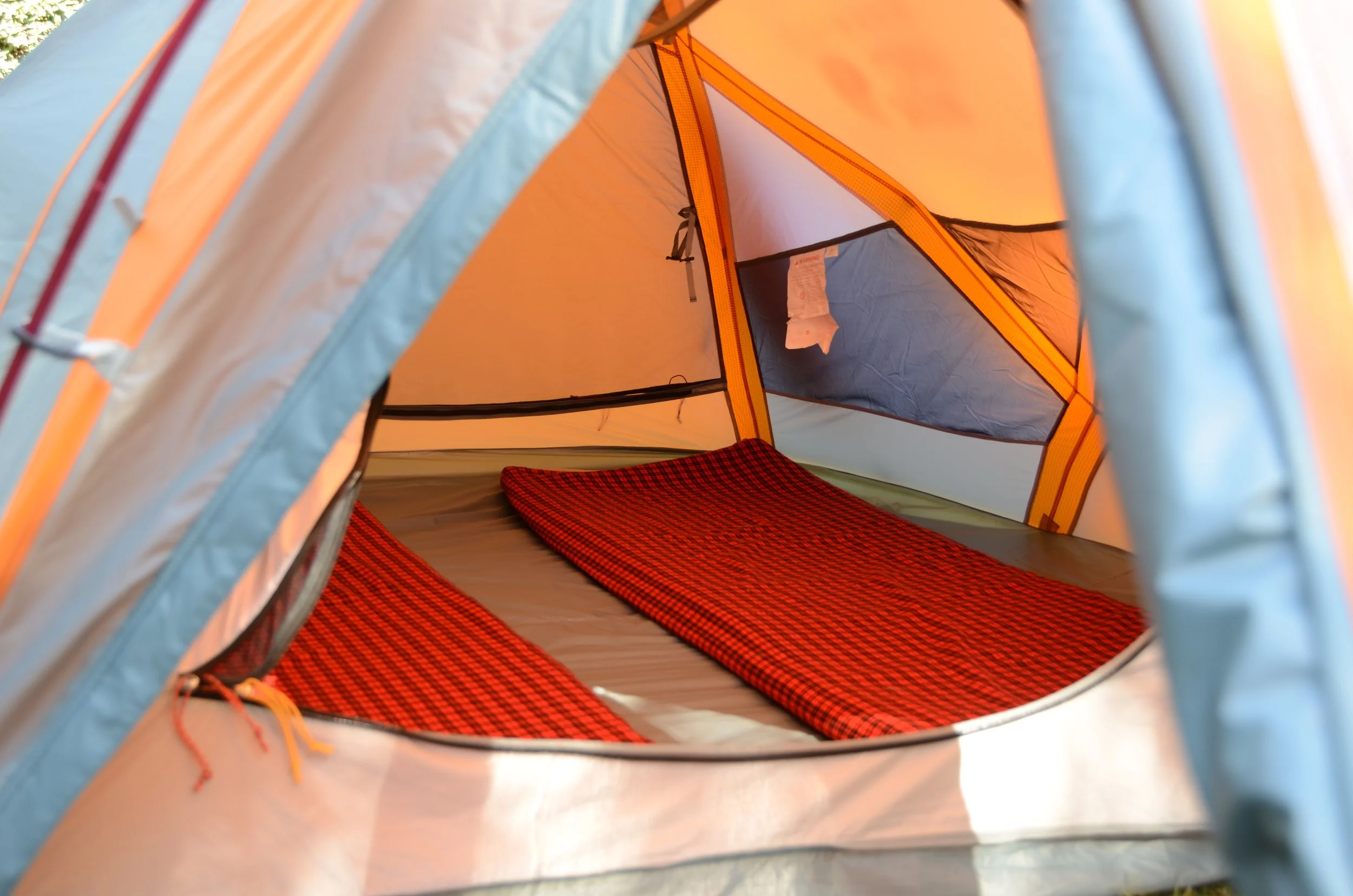
Camp: Swiss Army Camp (3,366m)
Temperature: 0°C - 5°C at night -
Distance: ~10 km
Elevation Gain: +619m
Walking Time: 5 - 7 hoursThis is a big day of walking, and you’ll carry a packed lunch to enjoy on the trail. The majority of the day’s trek goes up a long ridgeline with sweeping views over the Gorges Valley and Vivienne Falls. After the lunch point you’ll continue the traverse that takes you above 4000m before descending sharply into the crater-like basin where Lake Michaelson lies. Camp here at one of Mount Kenya’s most breathtaking alpine lakes, surrounded by towering cliffs. There are rainbow trout that breed naturally in the lake so if you’d like to try your luck at fly fishing this is a good opportunity. The fact that you will ‘climb high and sleep low’ should help to aid with acclimatisation.
Camp: Lake Michaelson Camp (3,366m)
Temperature: -2°C - 1°C at night -
Distance: ~2.5 km
Elevation Gain: +315m
Walking Time: 1 - 2 hoursMake the most of a lie-in and a leisurely breakfast on Day 3. The next camp is only a couple of hours away so there is no need to rush off. Instead chill out, read a book, take in the views and enjoy the morning at Lake Michaelson. You can then set off late morning or early afternoon and go up the steep trail beside the stream that feeds Michaelson. Once in the valley above a short trek brings you to camp and an early dinner.
Camp: Pillar and the Hat Camp (4300m)
Temperature: -2°C - 0°C at night -
Distance: ~7 km
Elevation Gain: +685m to summit
Walking Time: 7-8 hoursYou will wake up long before dawn, have some hot drinks and whatever food you can stomach before setting out with headlamps on. An hour or so trek in the dark brings you to Simba Tarn and the upper limit of the Afro Alpine vegetation. From here another couple of hours of slow steady climbing up the scree slopes brings you to Point Lenana, Mt. Kenya’s trekker’s summit. The sun will rise roughly an hour before the summit is reached. Not only does this allow for a warmer summit experience, and an appreciation of the views as you ascend, it also means the crowds who usually aim to be on top for sunrise should have left or be on the way down as you summit an hour later. Enjoy the views, sip a warm drink and celebrate - you’re on top! The technical summits of Batian and Nelion towering to the west are now the sole peaks above you yet spread below are the jagged spires of subsidiary peaks fringing the U-shaped glacial valleys that radiate outwards in all directions. After summiting you will descend into the Mackinder Valley for brunch and if need be a change of clothes. From the brunch point below Shipton’s Hut there remains an hour or so walk down the valley to the final camp.
Camp: Karumba Camp (3,900m)
Temperature: -2°C - 0°C at night -
Distance: ~12 km
Elevation Loss: -600m
Walking Time: 4 - 6 hoursWake up and enjoy looking back at the mountain you’ve just climbed with a hot drink in hand. After breakfast you’ll set off on the descent. There are a couple of valleys to cross on your northward traverse but the majority of the trek is all downhill. At Old Moses you’ll meet the vehicles that will take you out of the park and to your next destination.

Q&A
-
Yes. We do require you to have medical and evacuation cover.
We work closely with one of the local medical evacuation providers so we can include this in your package. Let us know in advance.
-
Take a look at the following PAGE for what you need to pack and how to pack it.
-
Your journey begins at Jomo Kenyatta International Airport (NBO) in Nairobi. We recommend arriving at least one day before your trek starts to acclimatise.
Road Transfer
Depending on which climbing route you’ve chosen (Sirimon, Naro Moru, or Chogoria), your destination will be one of the gateway towns: Nanyuki, Naro Moru, or Chogoria.
Private Transfer: We typically arrange private 4x4 transfers for our clients. This is the most comfortable and reliable way to reach the trailheads, taking between 3 to 5 hours depending on traffic and your specific route.